Holzner Cottontail
Sylvilagus holzneri
S. holzneri is a relatively small cottontail with grayish-brown fur and a white underside. They have short ears and a small, white tail. They are similar in appearance to…
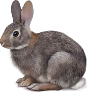
How to identify
S. holzneri is a relatively small cottontail with grayish-brown fur and a white underside. They have short ears and a small, white tail. They are similar in appearance to S. idahoensis but are slightly larger and have different skull characteristics.
Range
S. holzneri is endemic to a small region of southwestern Idaho, specifically the Snake River Plain. This limited distribution makes it one of the most geographically restricted rabbit species in North America.
Habitat
S. holzneri inhabits areas dominated by big sagebrush (Artemisia tridentata) on the Snake River Plain. They rely on dense sagebrush for cover and food.
Similar species
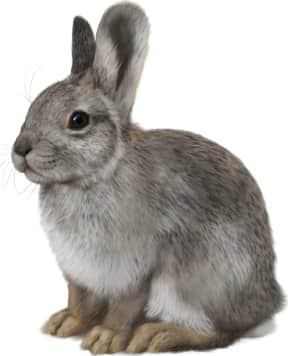
The primary similar species is S. idahoensis (Pygmy Rabbit), which occupies similar habitats in the same region. S. holzneri is larger and does not use burrows created by badgers or other animals, unlike the Pygmy Rabbit.
Name and etymology
Genus
Sylvilagus
Latin for forest (silva) and Greek for hare (lagos_
Origin
Sources
- Palmer, Index Generum Mammalium (1904) ↗
Palmer, T. S. 1904. Index Generum Mammalium: a list of the genera and families of mammals. North American Fauna 23. Government Printing Office, Washington. https://doi.org/10.5962/bhl.title.39809
Species epithet
holzneri
Etymology incomplete
The meaning of this name has not been recorded yet.
Explore more names in the etymology index.
At a glance
Range
S. holzneri is endemic to a small region of southwestern Idaho, specifically the Snake River Plain. This limited distribution…
Habitat
S. holzneri inhabits areas dominated by big sagebrush (Artemisia tridentata) on the Snake River Plain. They rely on dense sag…
Guide
Mammals of North America
Range map
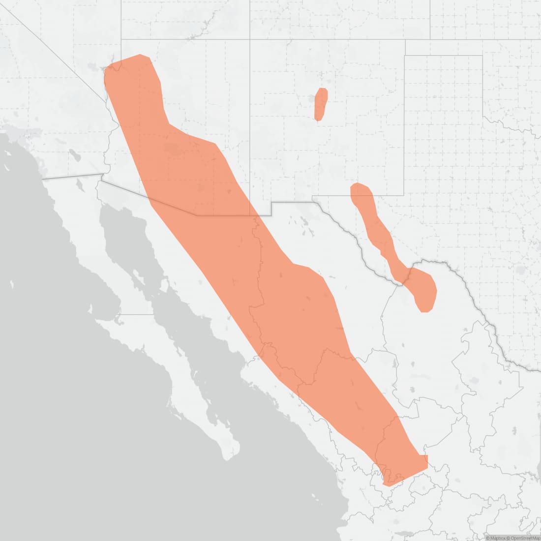
Approximate range. © Mapbox © OpenStreetMap