Sonoran Collared Lizard
Crotaphytus nebrius
A medium-sized lizard with long legs and a long tail, a somewhat large triangular head, and granular scales. It can grow to a length of 10.8 cm from snout to vent, and is…
How to identify
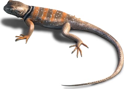
A medium-sized lizard with long legs and a long tail, a somewhat large triangular head, and granular scales. It can grow to a length of 10.8 cm from snout to vent, and is characterized by a distinct collar across its shoulders; typically a thicker black band bordered on each side by thinner white bands. The collar is often broken in the center of the back. The rest of the body is tan with small cream spots, often aligned in rows across the body. Adults develop a yellow tint on their legs and cream markings. In cross-section its tail is round, which distinguishes it from similar species.
Range
Ranges from southwest Arizona across the border into northwest Mexico.
Habitat
Mainly active in spring and summer, this species prefers habitats with large rocks in the Sonoran Desert scrubland. It is often found on rocky hillsides, canyons, and mountain slopes.
Variations
Breeding females develop bright orange to brick red slash markings around their neck, shoulders, and sides. In general, females are duller and can lack the cream spots. The black collar usually crosses the front of the neck in males.
Similar species
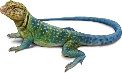
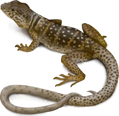
Could easily be misidentified as the desert (Great Basin) collared lizard (*Crotaphytus bicinctores*), or the eastern collared lizard (*Crotaphytus collaris*).
Name and etymology
Genus
Crotaphytus
Greek for side of head (krotaphos), referencing small plates on the head.
Origin
Sources
- Holbrook, 1842. N. Amer. Herp., Ed. 2, Vol. 2, p. 79 ↗
Crotaphytus. Holbrook, 1842 - N. Amer. Herp., Ed. 2, Vol. 2, p. 79
Species epithet
nebrius
Greek for skin like a fawn (nebrios), referencing white spots.
Origin
Sources
- Wikipedia: Crotaphytus nebrius ↗
“Crotaphytus nebrius.” Wikipedia. https://en.wikipedia.org/wiki/Crotaphytus_nebrius
Explore more names in the etymology index.
At a glance
Range
Ranges from southwest Arizona across the border into northwest Mexico.
Habitat
Mainly active in spring and summer, this species prefers habitats with large rocks in the Sonoran Desert scrubland. It is oft…
Guide
Reptiles and Amphibians of North America
Range map
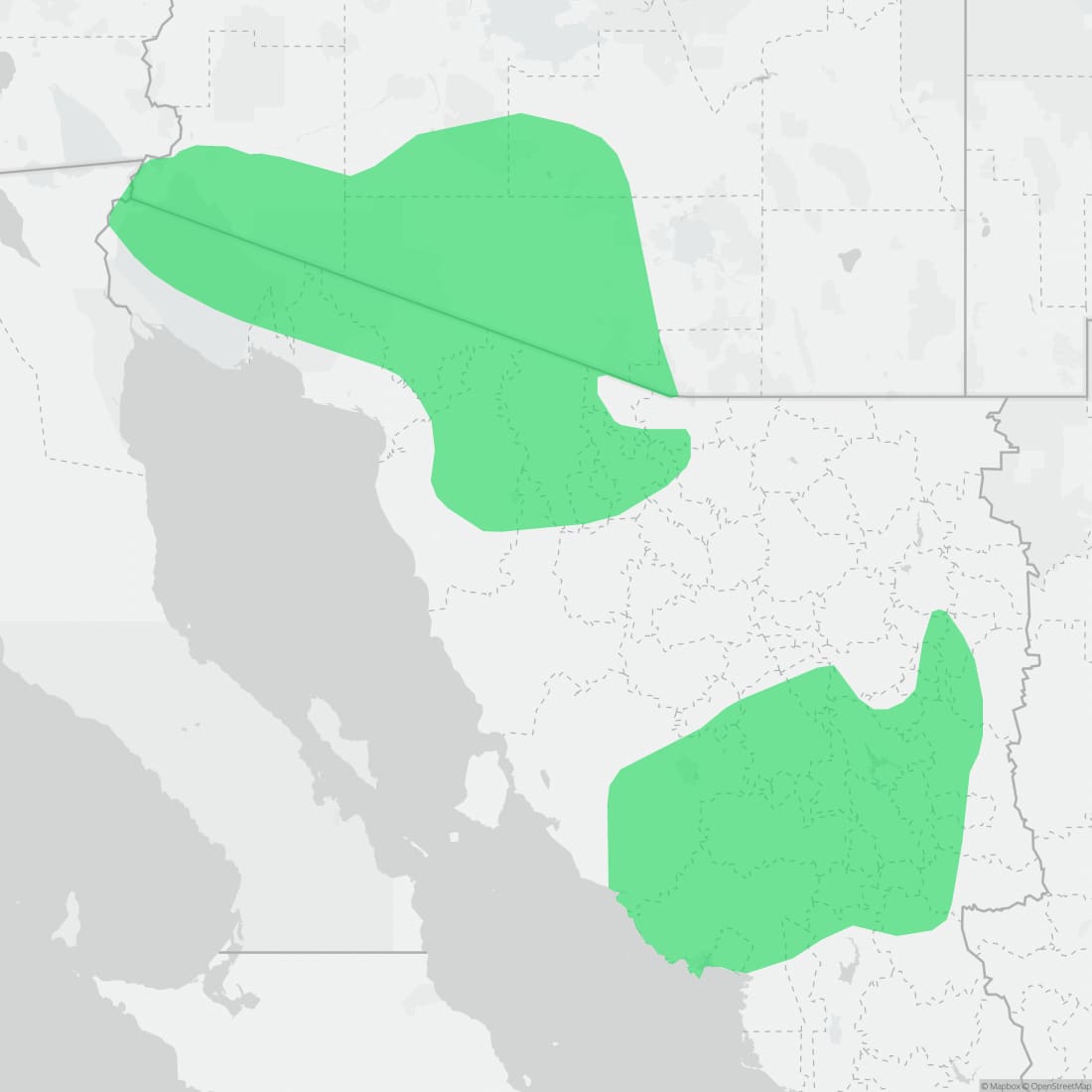
Approximate range. © Mapbox © OpenStreetMap