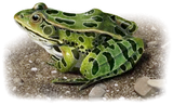
Southern Shovel-nosed Salamander
Desmognathus aureatus
D. aureatus is a small salamander, typically reaching a total length of 3.5 to 5 inches (9 to 12.5 cm) with a record length of 5.8 inches (14.6 cm) documented in Virginia…
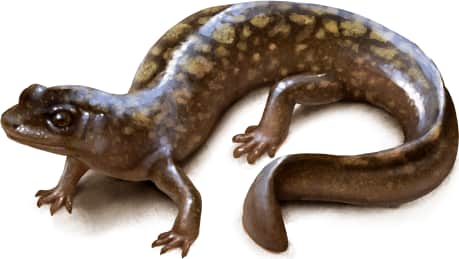
How to identify
D. aureatus is a small salamander, typically reaching a total length of 3.5 to 5 inches (9 to 12.5 cm) with a record length of 5.8 inches (14.6 cm) documented in Virginia. True to its name, it possesses a flattened, shovel-shaped head. The body color varies between shades of gray, brown, or black, often adorned with a mottled pattern on the back. Two rows of light spots may be visible along the sides.
Range
D. aureatus ranges in the Blue Ridge Mountains of northeastern Georgia, northwestern South Carolina, and small portions of North Carolina, in headwater streams of the Chattahoochee, Chattooga, and Tallulah River drainages. It can be found from 400–1100m in elevation.
Habitat
Shovel-nosed salamanders occurs in rocky riffle zones of a fastflowing, high-gradient mountain streams
Similar species
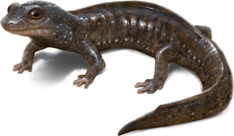
Shovel-nosed salamanders can be easily confused with Black-bellied Salamanders. However, key distinctions exist. Black-bellied salamanders have a less flattened head, more prominent eyes, and a more noticeable light stripe extending from the eye to the jawline. Additionally, Black-bellied salamanders frequent the edges of streams, spending time both in and out of the water, while Shovel-nosed salamanders are nearly fully aquatic salamander.
Central Shovel-nosed Salamander
Desmognathus intermedius
Northern Shovel-nosed Salamander
Desmognathus marmoratus
Southern Blackbelly Salamander
Desmognathus amphileucus
Blue Ridge Blackbelly Salamander
Desmognathus mavrokoilius
Kanawha Blackbelly Salamander
Desmognathus kanawha
Cherokee Blackbelly Salamander
Desmognathus gvnigeusgwotli
Name and etymology
Genus
Desmognathus
Greek for jaw (gnathos) ligament (desmos).
Origin
Sources
- Baird, 1850. Journ. Acad. Nat. Sci. Philadelphia, Ser. 2, Vol. 1, p. 282 and p. 285 ↗
Desmognathus. Baird, 1850 - Journ. Acad. Nat. Sci. Philadelphia, Ser. 2, Vol. 1, p. 282 and p. 285
Species epithet
aureatus
Latin for adorned with gold, referencing its dorsal coloration.
Origin
Sources
- Wikipedia: Desmognathus aureatus ↗
“Desmognathus aureatus.” Wikipedia. https://en.wikipedia.org/wiki/Golden_shovel-nosed_salamander
Explore more names in the etymology index.
At a glance
Range
D. aureatus ranges in the Blue Ridge Mountains of northeastern Georgia, northwestern South Carolina, and small portions of No…
Habitat
Shovel-nosed salamanders occurs in rocky riffle zones of a fastflowing, high-gradient mountain streams
Guide
Reptiles and Amphibians of North America
Range map
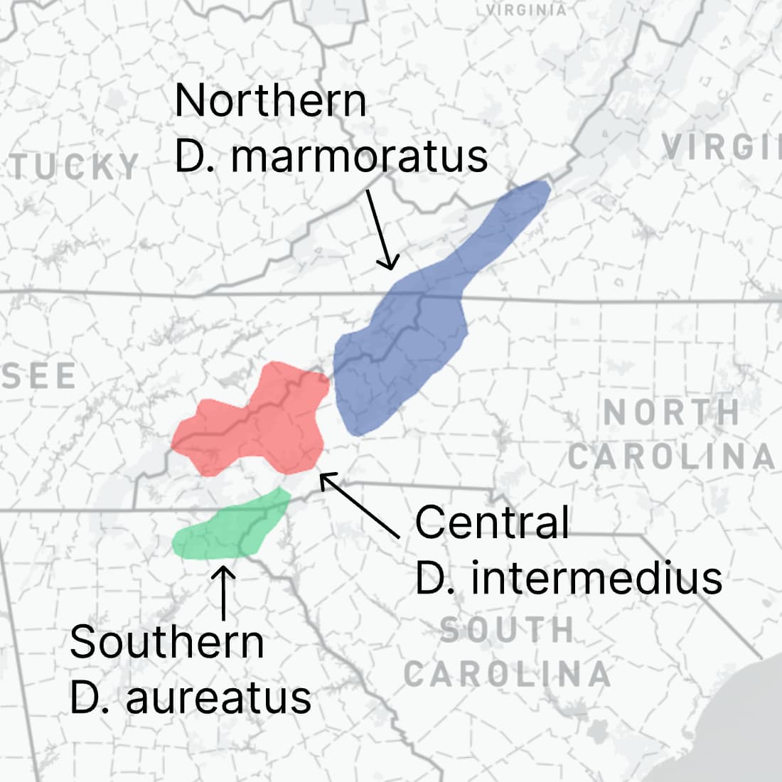
Approximate range. © Mapbox © OpenStreetMap