Chihuahuan Black-headed Snake
Tantilla wilcoxi
A small, thin snake that is primarily light tan with a grey-brown head and a cream colored horizontal band around its neck. This cream collar includes the posterior tips…
How to identify
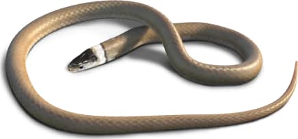
A small, thin snake that is primarily light tan with a grey-brown head and a cream colored horizontal band around its neck. This cream collar includes the posterior tips of the large, plate-like scales on the head (parietal scales). Ventral scales are light cream at the front of the snake, blending into a vibrant red-orange color posteriorly, and it has a small off-white patch on each cheek. It grows to a length of 14 inches and has a small, narrow head.
Range
North and central Mexico, with a small isolated population in the Santa Rita, Patagonia, and Huachuca mountains of southern Arizona.
Habitat
Prefers heavily wooded habitats with plentiful leaf litter in evergreen and conifer forests at elevations of 3000-8000 feet. Likes to burrow under rocks and logs.
Variations
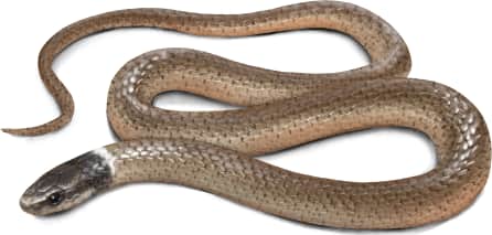
Coloration of head ranges from dark tan to dark grey or brown. There may be a thin black stripe on one or both borders of the cream band on its neck. Tan body may have a greenish hue.
Similar species
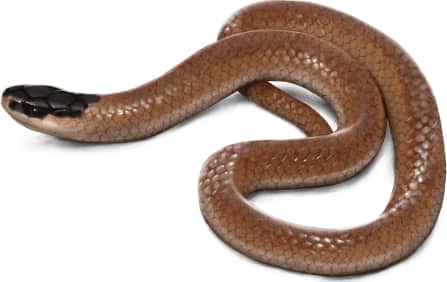
Looks most similar to the southwestern (Smith's) black-headed snake (*Tantilla hobartsmithi*), which shares its Arizona range, or the plains black-headed snake (*Tantilla nigriceps*) which has a nearby range to the east. Both of these species lack the cream neck band. The western black-headed snake (*Tantilla planiceps*) lives further west in California and looks very similar, but it either lacks the neck band or has a very narrow, faded cream band.
Name and etymology
Genus
Tantilla
Latin for something small and insignificant.
Origin
Sources
- Baird and Girard, 1853. Cat. N. Amer. Rept., Pt. 1, p. 131 ↗
Tantilla. Baird and Girard, 1853 - Cat. N. Amer. Rept., Pt. 1, p. 131
Species epithet
wilcoxi
Honoring Timothy E. Wilcox.
Origin
Honors
Sources
- Stejneger, 1902. Proc. U.S. Natl. Mus., Vol. 25, p. 156 ↗
Tantilla wilcoxi. Stejneger, 1902 - Proc. U.S. Natl. Mus., Vol. 25, p. 156
Explore more names in the etymology index.
At a glance
Range
North and central Mexico, with a small isolated population in the Santa Rita, Patagonia, and Huachuca mountains of southern A…
Habitat
Prefers heavily wooded habitats with plentiful leaf litter in evergreen and conifer forests at elevations of 3000-8000 feet.…
Guide
Reptiles and Amphibians of North America
Range map
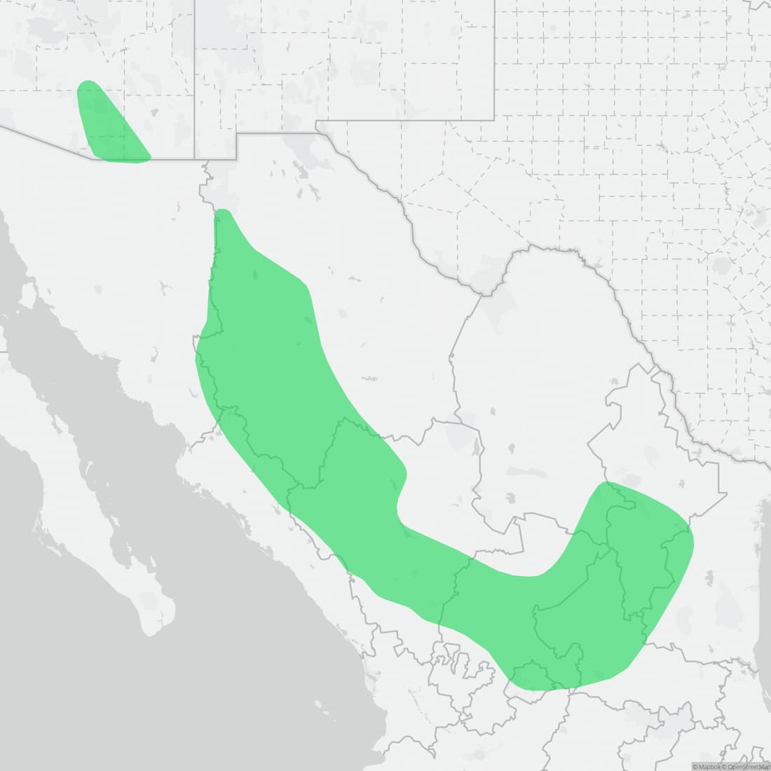
Approximate range. © Mapbox © OpenStreetMap