Colorado Desert Fringe-toed Lizard
Uma notata
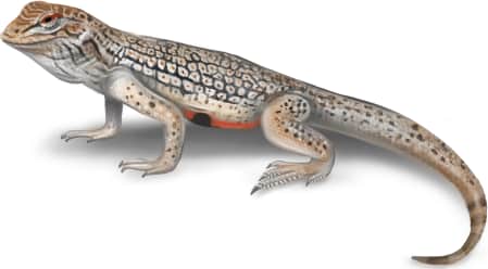
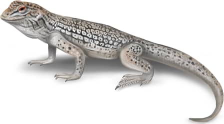
A light-colored lizard with an intricate black reticulated pattern down its back, with tiny orange spots inside the black patterning. It has a wedge or shovel-like snout…
How to identify
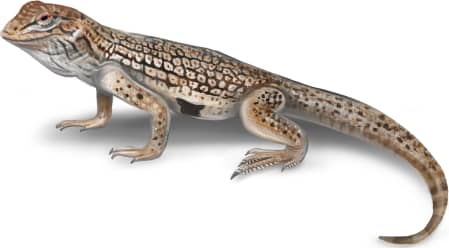
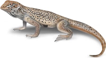
A light-colored lizard with an intricate black reticulated pattern down its back, with tiny orange spots inside the black patterning. It has a wedge or shovel-like snout for burrowing into sand. The head is usually shaded slightly pinkish tan. It is white and mostly unmarked on its ventral side, but has thin black diagonal stripes on each side of its throat, and black bars on the distal half of its tail. They are named for triangular fringe-like scales extending off back edges of their rear toes.
Range
Southeastern corner of California and slightly into southwestern Arizona and the northern Baja Peninsula.
Habitat
They like sandy, windblown desert habitats with sparse vegetation.
Variations
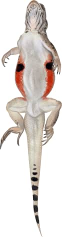
Breeding individuals have a black spot inside a wide rusty orange stripe down the sides of their abdomens, as well as small orange blotches around their eyes.
Similar species
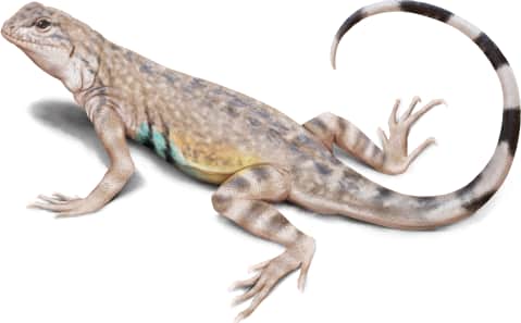
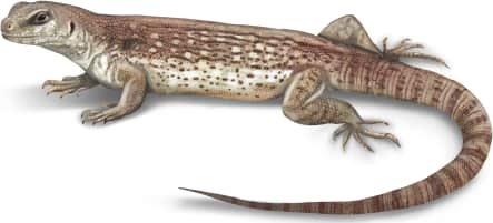
There are several other fringe-toed lizards which are very similar in appearance but have different ranges. These include the Yuman Desert fringe-toed lizard (*Uma rufopunctata*), Mojave fringe-toed lizard (*Uma scoparia*), and Coachella Valley fringe-toed lizard (*Uma inornata*). This species could also be confused with the zebra-tailed lizard (*Callisaurus draconoides*) or desert iguana (*Dipsosaurus dorsalis*).
Name and etymology
Genus
Uma
Referencing the Yuma indigenous group.
Origin
Sources
- Baird, 1858. Proc. Acad. Nat. Sci. Philadelphia, Vol. 10, p. 253 ↗
Uma. Baird, 1858 - Proc. Acad. Nat. Sci. Philadelphia, Vol. 10, p. 253
Species epithet
notata
Latin for marked or noted.
Origin
Sources
- Baird, 1858. Proc. Acad. Nat. Sci. Philadelphia, Vol. 10, p. 253 ↗
Uma. Baird, 1858 - Proc. Acad. Nat. Sci. Philadelphia, Vol. 10, p. 253
Explore more names in the etymology index.
More illustrations
At a glance
Range
Southeastern corner of California and slightly into southwestern Arizona and the northern Baja Peninsula.
Habitat
They like sandy, windblown desert habitats with sparse vegetation.
Guide
Reptiles and Amphibians of North America
Range map
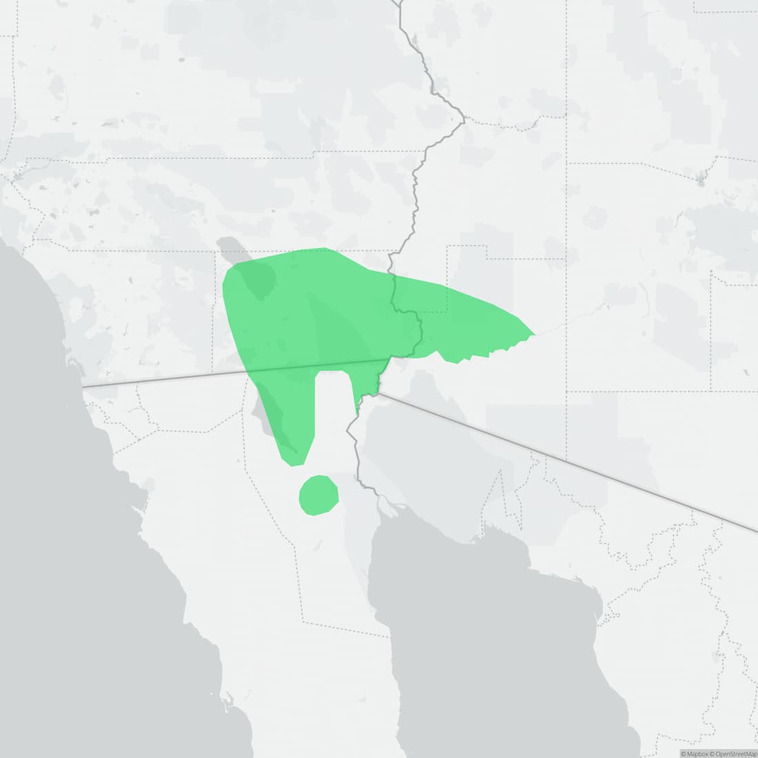
Approximate range. © Mapbox © OpenStreetMap